Archives and Special Collections Maps

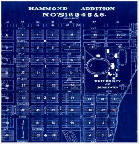
Our diverse collection covers dates from the early 19th century to the present-day. Map series include topographic maps, orthophotoquads, geologic and hydrologic maps, railroad and highway maps, National Forest and National Wilderness maps, Forest Health Protection Annual Aerial Detection Survey maps (pest maps), BLM surface and mineral management maps, and Sanborn Company fire insurance maps. The collection also contains various maps of early explorations of the American Northwest, territorial maps, plat maps and maps of a number of Montana cities. A portion of our maps are available online at the Montana History Portal. Most of our maps are cataloged and can be found using OneSearch from the Mansfield Library homepage. You can also view our Maps Research Guide.
