Historic Aerial Photography
Collection Details
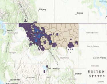
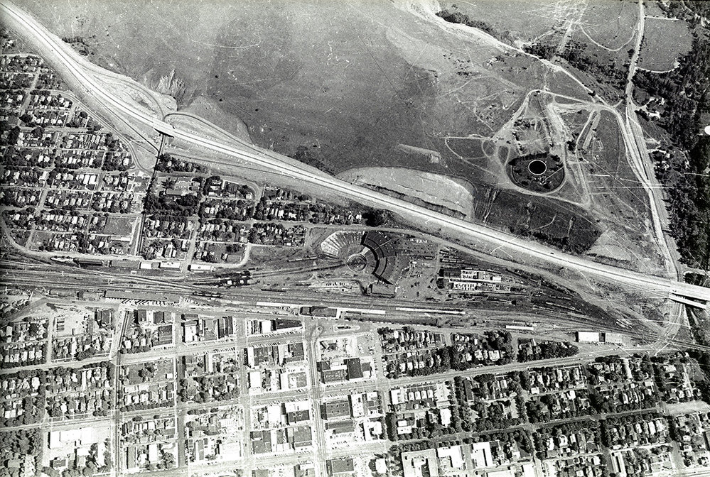
Archives and Special Collections houses over 50,000 aerial photographs of Montana and the wider Rocky Mountain West region, including portions of northern Idaho, eastern Washington, and southern British Columbia and Alberta. The collection features both oblique and vertical images, with dates ranging from 1929 through the 1960s.
Hundreds of images, including those from Missoula-based photographers R.H. McKay and Stan Healy, are available online via the Montana History Portal.
The majority of the aerial photos in our collection were taken by the U.S. Forest Service, whose Northern Region headquarters are in Missoula. We are currently working to create an index and online access to the USFS vertical images from the 1930s and 1940s. Centerpoints for about 31,000 of these images have been identified in the Mansfield Library Historic Aerial Photographs ArcGIS web map. In the map, purple circles represent approximate image centerpoints. Blue triangles represent images that have been scanned and are available online.
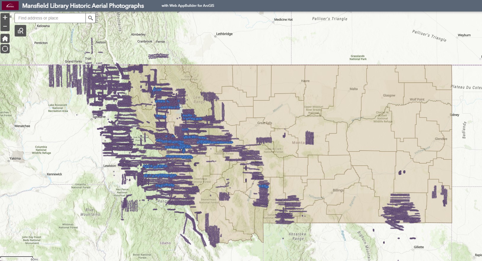
Scanned USFS photographs can also be accessed via the United States Forest Service Aerial Photographs webpage in ScholarWorks. At this point, none of the images have been georectified. Contact us if you would like access to images that are not yet scanned.